Railroad
No edit summary |
No edit summary |
||
| Line 39: | Line 39: | ||
|} | |} | ||
<br /> | <br /> | ||
* Railroads should be mapped uninterrupted. No junction nodes at city borders. | * Railroads should be mapped uninterrupted. No [[Nodes|junction nodes]] at city borders. | ||
* No connection to segments of any other road type besides Railroad! | * No connection to segments of any other road type besides Railroad! | ||
* No [[Street and City names|City name]] and a fixed [[Street and City names|Street name]]. | * No [[Street and City names|City name]] and a fixed [[Street and City names|Street name]]. | ||
Revision as of 13:07, 9 August 2019
Railroad
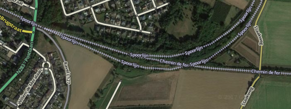
In the BeNeLux railroads, metros and tramways are mapped with the Railroad road type to provide drivers with visual orientation. Tracks that are embedded in a road surface or a median strip should not be mapped.
| Freeway |
| Major Highway |
| Minor Highway |
| Ramp |
| Primary Street |
| Street |
| Narrow street |
| Off-road |
| Parking Lot Road |
| Private roads |
| Ferry |
| Walking Trail |
| Pedestrian Boardwalk |
| Railroad |
| Runway/Taxiway |
Attributes:
| Street | City | Lock | Elevation |
|---|---|---|---|
- Railroads should be mapped uninterrupted. No junction nodes at city borders.
- No connection to segments of any other road type besides Railroad!
- No City name and a fixed Street name.
- An elevation of -5. (Note: Due to a bug -5 isn't available, for now please use -4.)
For other means of public transport there are other guidelines, for instance pedestrian boardwalks used for public transport.

