Błąd numer 1: Przecinające się drogi
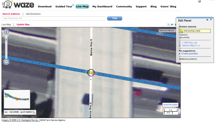
The program might alert of this problem when two roads intersect and no mutual node (intersection) appears in between.
Solution:
In case that the two roads create a junction, meaning: when there is in fact a possibility to turn from one road to the other, it is necessary to create a node in the junction between the segments.
- Choose the problem icon by clicking it.
- In the Edit panel the chosen problem will appear, including the relevant roads. In the bottom of the panel a possible solution will appear: Create junction
- Choose this option and confirm.
Please note that in many cases the problem does not need to be corrected. The attached example demonstrates two roads which seem they intersect but in fact there's a bridge above one road.
 In this case the bridge should be marked as such:
- Choose one of the sections of the bridge (the first by direction of the traffic).
- Hold Ctrl key and select the second section of the bridge, so that the two sections around the problem No. 1 are now highlighted.
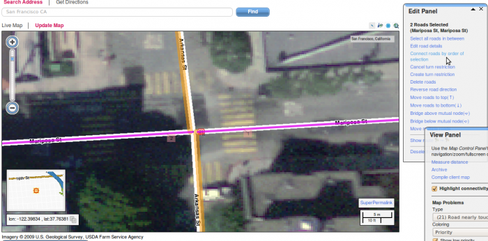
- In the Edit panel select Bridge above/ below mutual node.
- Another option is to change the level of the two road segments with 'Edit road details'in the 'Edit panel'.
Błąd numer 6: Niepołączone drogi
In order for two roads to be properly connected, it is not enough for the two roads to just be close to each other.
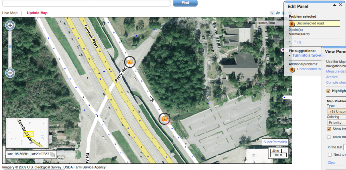
Problem number 6 alerts that two segments appear to be connected but in fact that they are just close to each other, and the program does not recognize a possibility of driving from segment to the other and will not allow the navigation.
 Solution:
Select the two segments by the direction of driving.
- First, make sure that the two sections of road are in the same direction (or in a direction that allows driving in the order of which you selected the segments).
- Select the first section. Preferably, Highlight Connectivity (in the View panel) should be on. This will allow you to make sure that the segment is indeed not connected.
- Holding Ctrl key, select the next segment that you want to connect.
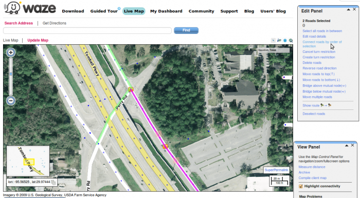
- On the Edit panel choose the option connect roads in order of selection.
Błąd numer 21: Droga blisko węzła
This problem occurs when a particular road segment is not connected to the nearest intersection. If the road is supposed to connect to the junction, follow the solution below.
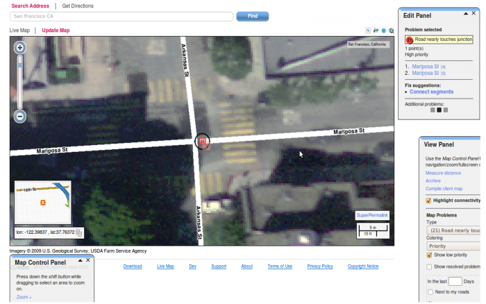 Solution:
- The road geometry should be edited in such way that the end of the road segment should be as close as possible to the intersection, but not touching it.
- Prior to connecting the roads, make sure that the direction of each segment will allow proper routing between the two.
- The road should be connected to the node by selecting the edited segment, holding down the Ctrl key, and selecting the other road segment that should be connected to it.
- When the two relevant sections are highlighted, in the Edit panel select Connect roads in the order of selection.
- Repeat this operation for all turns that are allowed from this segment and the new connection that was created.
Błąd numer 31: Nakładające się węzły
This problem occurs when two nodes are located closely to each other.
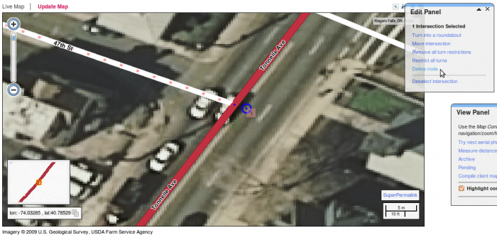
In some cases, one of the nodes is simply connecting two segments of the same road (and no node exists in real life). In this situation, deleting the node will fix the problem:
- Select the node by clicking on it.
- Different options will appear in the 'Edit panel'.
- Select 'delete node'.
 In other cases, one of the nodes should in fact be a bridge. In these cases, follow the solution below.
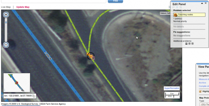 Solution:
- First select the road segment prior to the short road segment.
- Holding the Ctrl key, select the short segment so that both segment will be highlighted.
- Make sure that both segments are connected to each other.
4.In the Edit panel select the option Bridge above mutual node and confirm.
After the actual problem solution, the problem may still appear on the map. The problem will vanish after scanning the map by the software.

