| This page is under construction. We are currently collecting state-specific information, and will update accordingly |
States and Union Territories
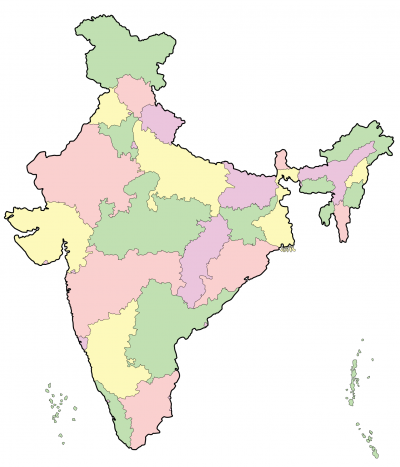
From geographical point of view, India is divided into 6 Zonal Councils. For Waze however, we use the administrative division of India. At this moment, India consist of 29 States and 7 Union Territories, which are listed in the State field of the addresses in WME.
States

Andhra Pradesh
Arunachal Pradesh
Assam
Bihar
Chhattisgarh
Delhi
Goa
Gujarat
Haryana
Himachal Pradesh
Jammu and Kasjmir (& Ladakh
Jharkhand
Karnataka
Kerala
Madhya Pradesh
Maharashtra
Manipur
Meghalaya
Mizoram
Nagaland
Odisha
Punjab
Rajasthan
Sikkim
Tamil Nadu
Telangana
Tripura
Uttar Pradesh
Uttarakhand
West-Bengal
Note: From Augustus 2019 on, the state Jammu and Kashmir is a proposed Union Territory together with the proposed split up part Ladakh.
Each State or Union Territory is divided into smaller administrative areas, called “Districts”. These in turn are further divided into "sub-districts". WME currently has no fields to include the districts in the address yet. Refer to the naming of roads (link to be added) to find more guidance.
The following table shows how the sub-districts are referred to in the various states.
| State/Union Territory | Sub-district |
|---|---|
|
Mandala |
|
Circle |
|
C.D. Block |
|
Tehsil |
|
Taluka |
|
Sub-Division |
|
Commune Panchayat |
|
Sub-Division |
|
Tehsil |